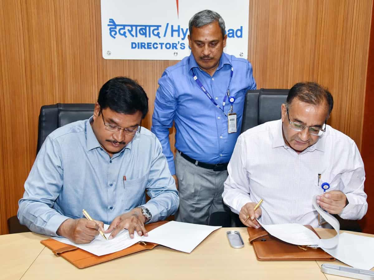
Hyderabad: The Hyderabad Disaster Response and Assets Protection Agency (HYDRAA) has entered into a Memorandum of Understanding (MoU) with the National Remote Sensing Centre (NRSC) on Friday, April 11, to digitize and make accessible comprehensive land-related data in and around the Outer Ring Road (ORR) region.
The initiative aims to collect, analyze, and share accurate geo-spatial information regarding tanks, canals, drains, government lands, and public parks, complete with clearly defined boundaries.
The HYDRAA commissioner AV Ranganath said the collaboration marks a major milestone in providing public access to factual data, especially concerning Full Tank Levels (FTL), buffer zones, and government-owned spaces such as parks and roads.
The initiative will use topographical sheets, cadastral maps, revenue records, tank survey data from the 1970 Survey of India, and satellite imagery provided by NRSC. The comprehensive approach is expected to support not only spatial planning but also water resource protection and disaster preparedness.
The NRSC Director Dr. Prakash Chauhan noted that Telangana will be the first state in India to implement such an extensive plan to preserve tanks, safeguard government lands, and create an environment-friendly urban zone.
Key outcomes of the HYDRAA–NRSC agreement
As part of the HYDRAA–NRSC agreement, HYDRAA will receive geo-based geospatial data support and technical collaboration for disaster management and water resource conservation.
NRSC will assist in creating a comprehensive geospatial database for the Telangana Core Urban Region (TCUR) using remote sensing and GIS technologies. Legacy data relevant to disaster management and water resources within TCUR will be made available via the Bhuvan portal.
In addition, historical satellite data covering the region will be accessible through the Bhunidhi portal in accordance with the Geospatial Data Policy (2023).
HYDRAA will also gain access to high-resolution satellite imagery, aerial photography, and digital elevation models. NRSC will support the integration of this satellite and aerial data to aid in asset monitoring and information collection for improved urban governance.
Free access to NRSC’s National Database for Emergency Management (NDEM) web portal will be provided, enabling real-time disaster visualization.
Both HYDRAA and NRSC will collaboratively compile and share accurate and detailed data on tanks, government lands, and public parks in the ORR region and 27 municipalities surrounding GHMC, enhancing transparency and urban planning.

